
Crychan Forest
Outline
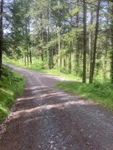
This is a pleasant, moderately strenuous walk with varied views. It can be done from either of the car park areas. Probably best from the start of Epynt Way Section 4. The route goes over fields before turning into the forest and winding down to a stream at the bottom of the valley and then rises to reach close to the Brynffo car park. Join the minor road and return to start point. The reverse can be done.
Map
All grid references are from OS Explorer Map 187, Llandovery.
Start and Finish Points
Beginning Section 4, Tirabad SN 872412, or Crychan Forest Brynffo car park, SN 849411
What3words ///resources.dramatic.showcases (Start Section 4) or ///dares.flipper.lush (Brynffo)
See Also Crychan Forest Association website https://www.crychanforest.org.uk/
Distance
6 miles/ 9.5kms
Walking Time
About 2&1/2 hours
Ascent/Descent
About 1000 ft fairly lengthy down and up as the route descends and ascends in a U shape with the lowest apex point a stream running between 2 arms of a valley.
Access/Parking
Both parking areas are reached by the minor road that runs between the A483 (SN808395), via Tirabad to Llangammarch Wells. There is good parking at the start of Section 4 and Brynffo car park Crychan Forset .
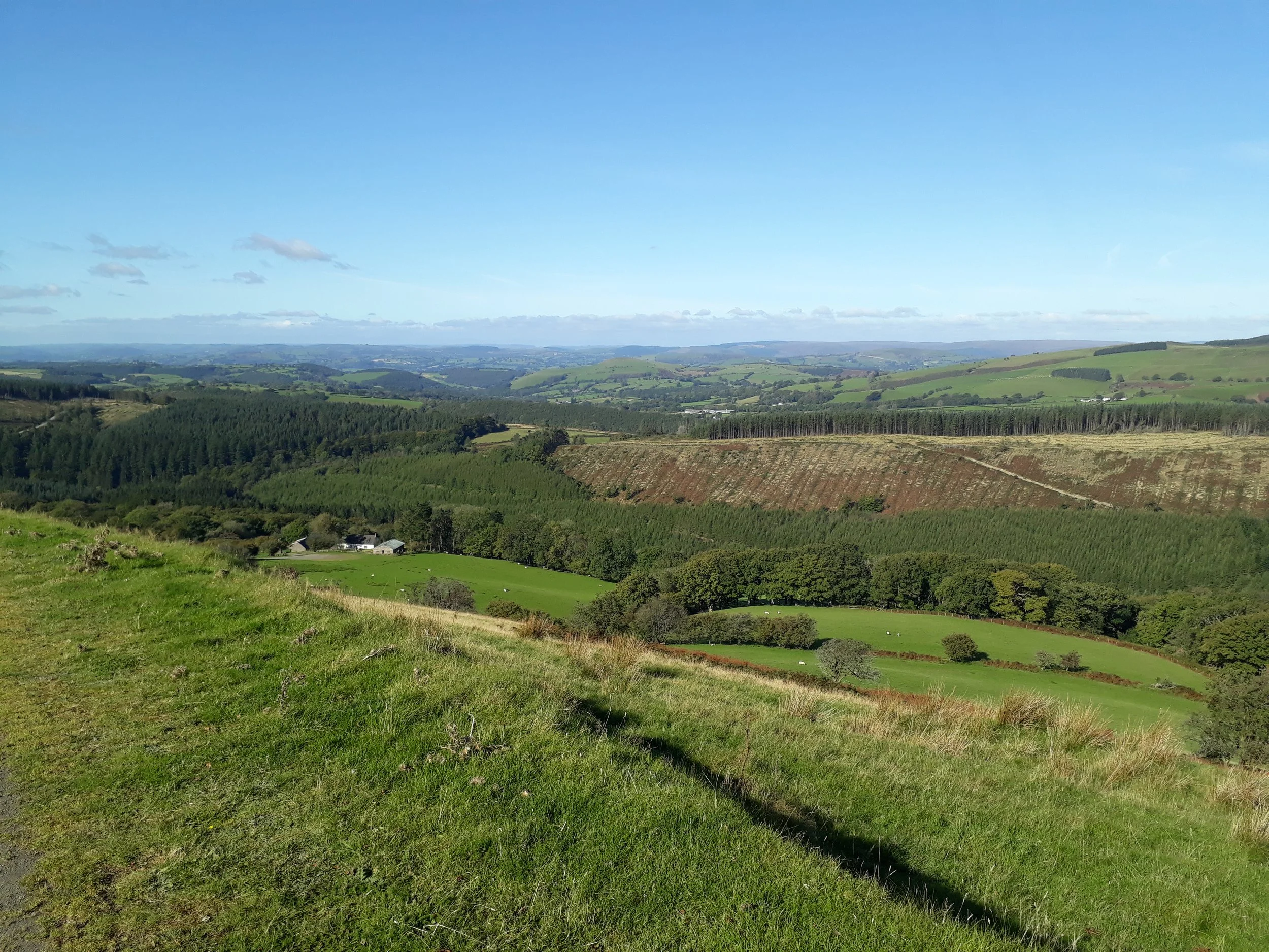
Park near the start Section 4.
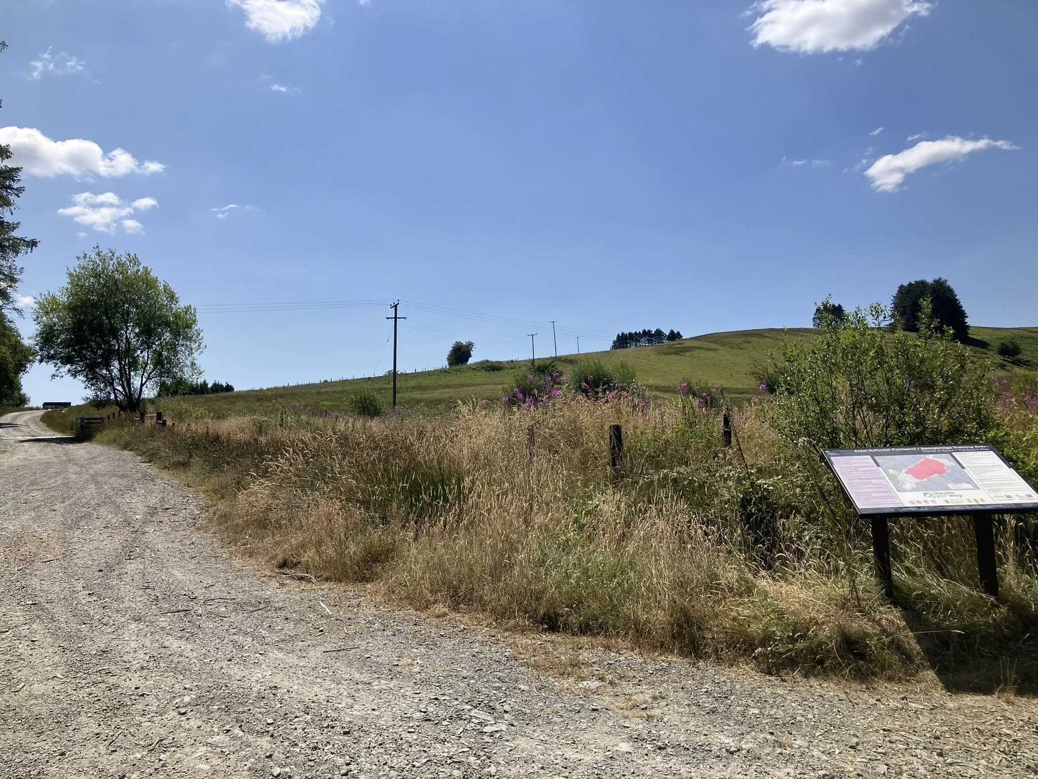
Walk past the horse corral and follow the Epynt Way posts for approximately 1.7 miles to post 424.
Every event we host is designed with intention, from the atmosphere we create to the way each session flows.
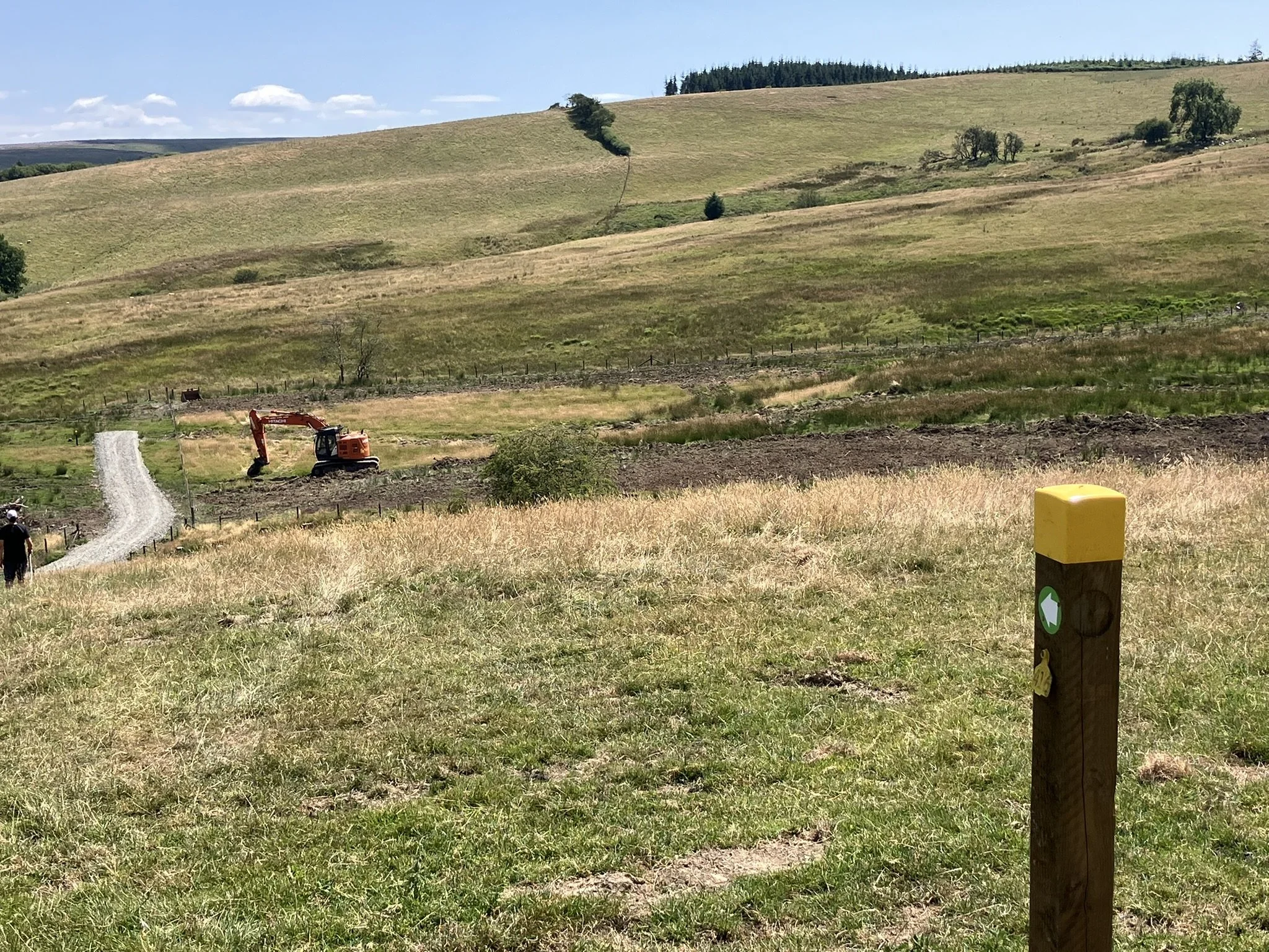
The way goes up and down over fields with a views to the left over the whole of Epynt & Sennybridge Ranges, towards the Black Mountains.
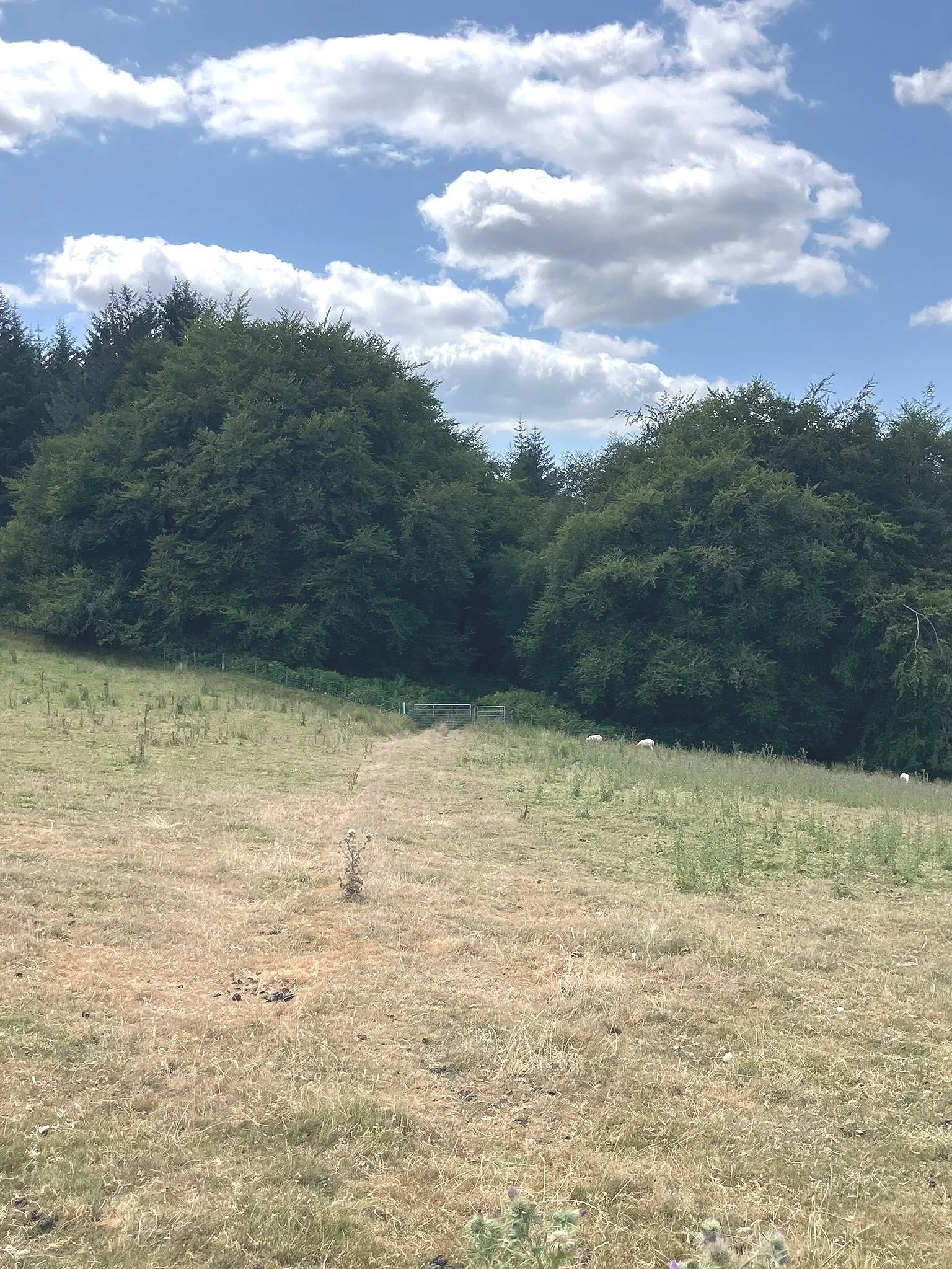
Turn right at post 424. You have now left the Epynt Way. Do not proceed to post 425.
Go up the slope of the field to a horse gate with a Crychan Forest post by it – 177.
Note that Crychan Forest has different post numbering to the Epynt Way.
Every event we host is designed with intention, from the atmosphere we create to the way each session flows.
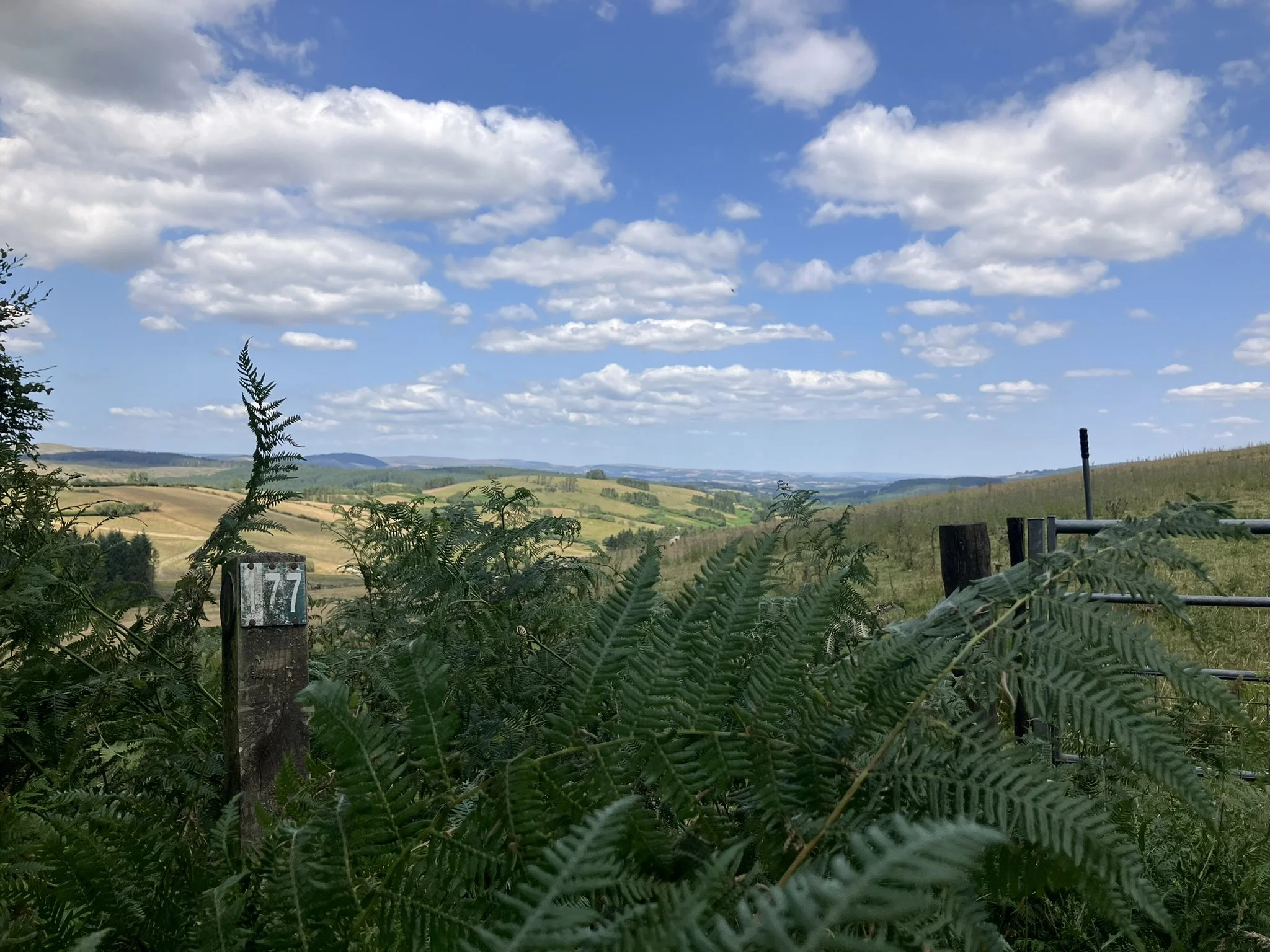
The view back from Crychan Forest post 177.
Follow the forest track for a short while before turning right onto a larger forest road.
The views here open up to the south and the Nant Tridwr valley.
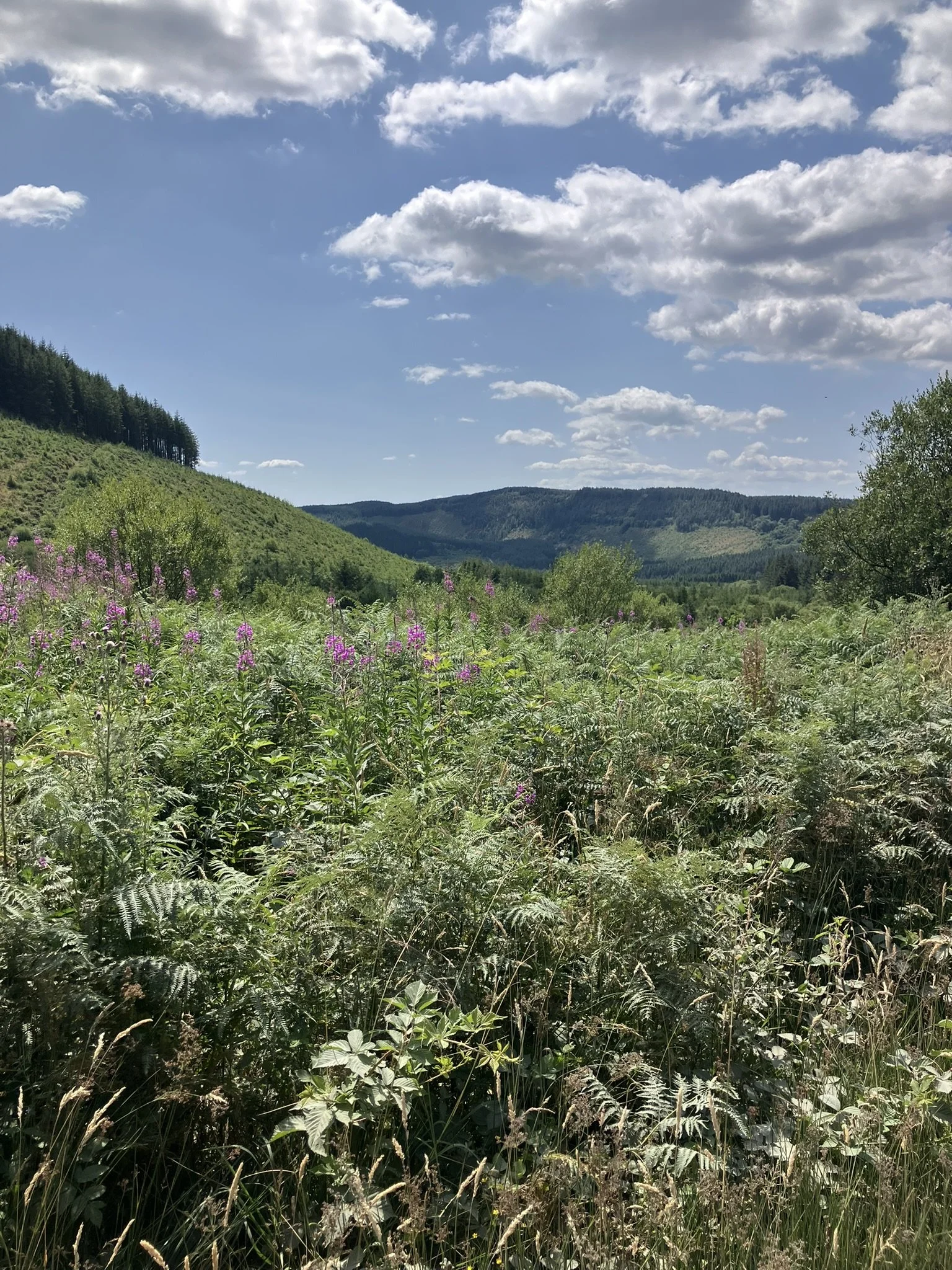
View from forest track.
Carry along the track ignoring the turning for Farm 8 and another right turn until arriving at a four way crossroads.
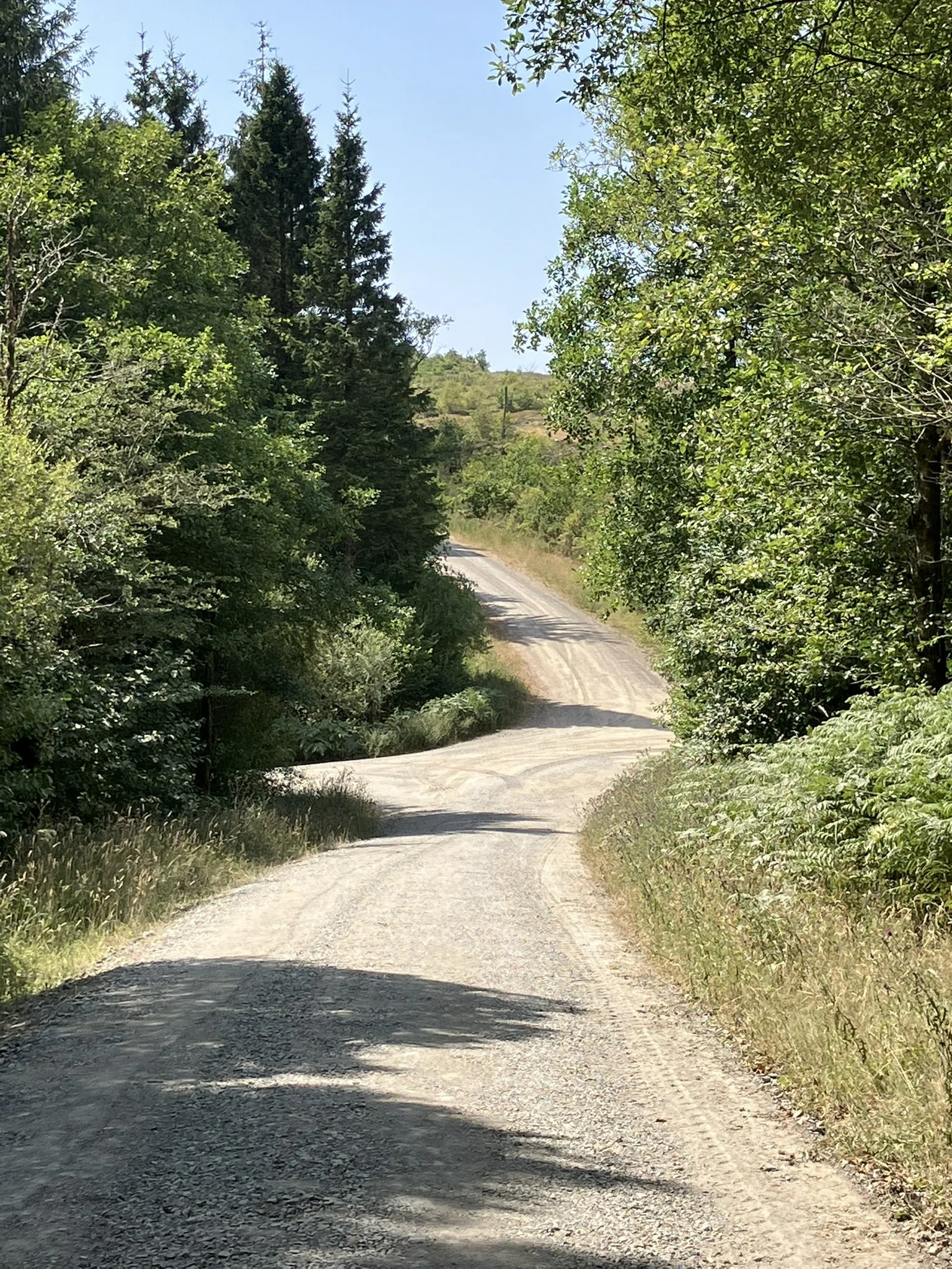
Turn right at this crossroads and walk downhill, winding through the forest. There is a scarcely visible moss-covered ruin on the right of the track to try and spot.
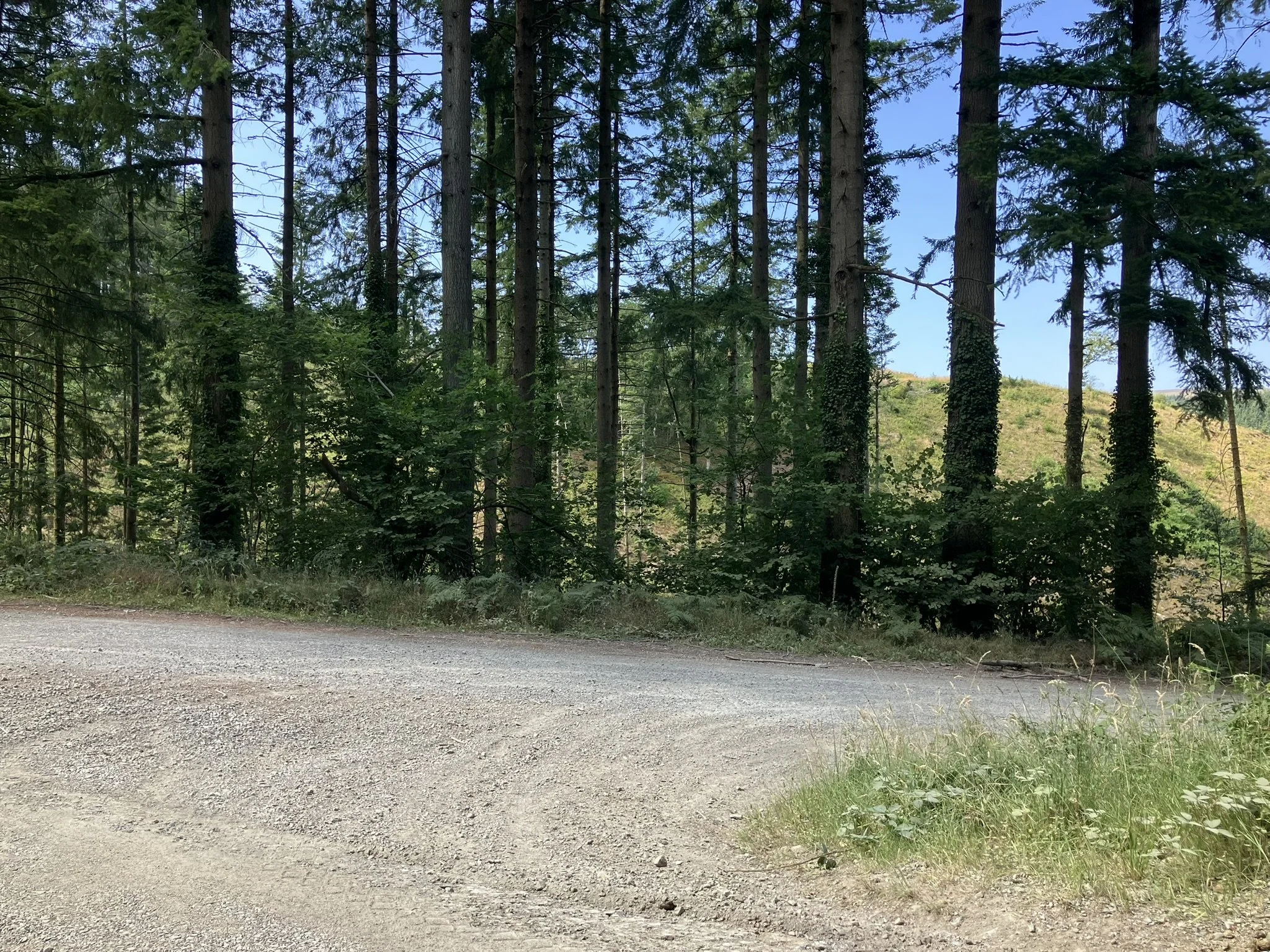
The track reaches a right turn after 0.75 miles.
Turn right here.
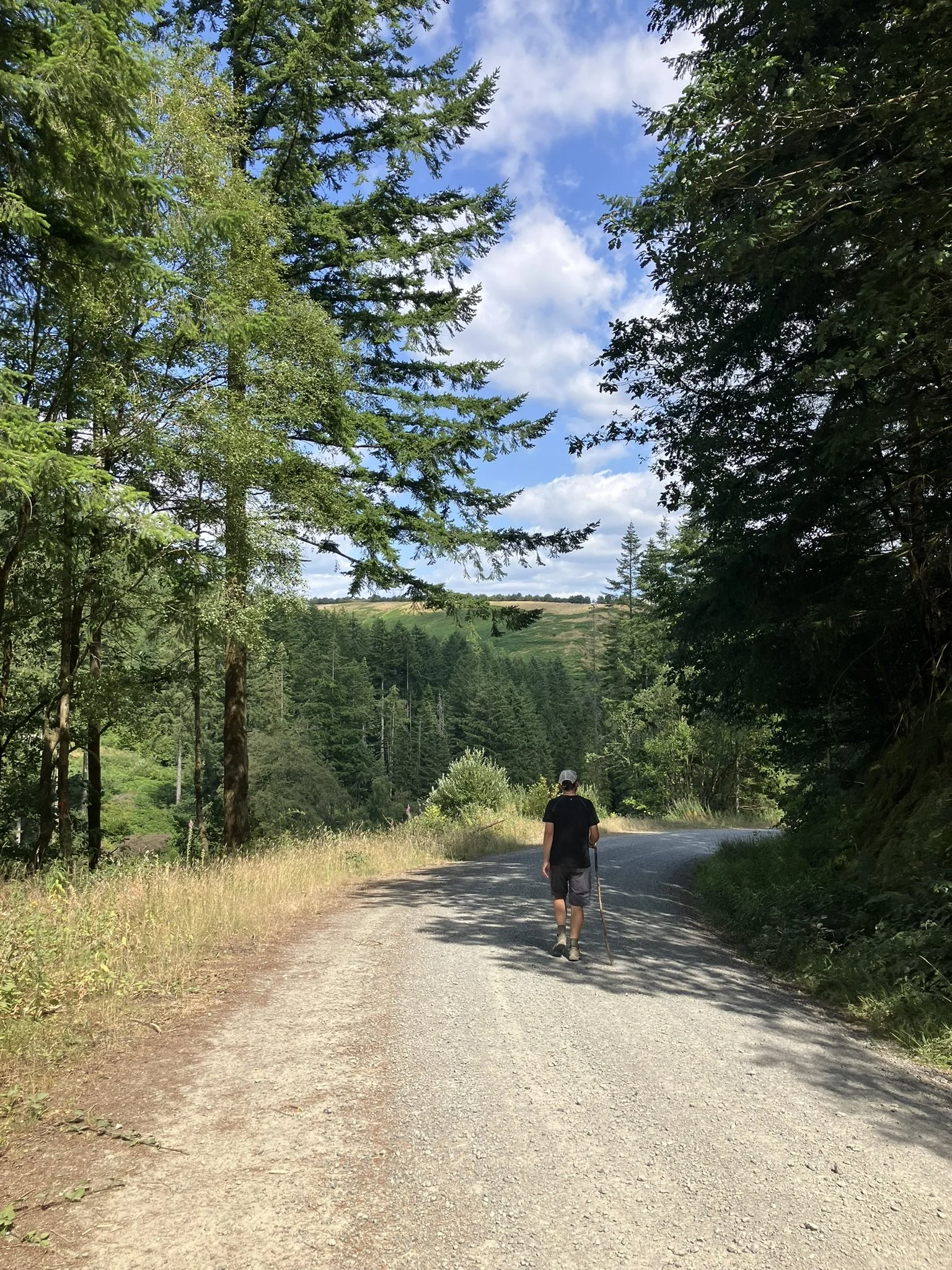
The road goes downhill to cross a stream, rises up and bears to the right at post 11.
Follow the track ahead uphill opening out to fields below on right below Brynffo Farm before emerging at the the Brynffo picnic area and car park.
At the public road, turn right to go back towards Tirabad and the start of Section 4. The road has little traffic and is quiet, running between fields.
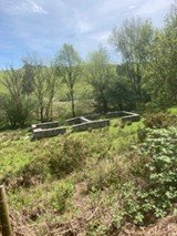
This takes 30 minutes or so. It goes past the ruined site of the Spite Farm and Inn.
Originally known as Ty'r Gors (trans. Fen House.) the name was changed to Spite Inn when it became a pub and a regular watering hole for the passing drovers.
The name spite, an English word, also means a wet place and therefore its description is very similar to that of its original Welsh name. It is still marked on maps but was knocked down in 2006.
There is a notice board with its history and pictures of the no longer existing buildings.
Comment
This circular route can be done in either direction as there is good parking in two places. The way is very varied in terms of terrain, grassy and hardcore track and views – wide sweeping over moors to hills, soft fields and intimate forest. Near both parking areas are sites suitable for picnics.