
ROUTE ONE
Llangammarch Wells
Post Office/Shop
Outline
This walk explores the north side of Mynydd Epynt. This side is steeper than the south and access is limited because of the proximity of live firing. The ascents, wherever done, are short and steep. A main route and a variation route are given.
Map
All grid references are from OS Explorer Map 181 – Builth Wells
Start and Finish Points
Llangammarch Wells Post Office/Shop (SN 936471)
What3words ///sadly.drank.decoded
Variation: Garth view point, (B4519) where EW Route One finishes and Route Two starts (SN 967465)
What3words ///perform.defrost.ascendant
Walking Time
Allow 2.5 - 3.5 hours Distance – 10 km (Variation 12km)
Ascent
About 200m
Access/Parking
Parking on village street or by Llangammarch Wells Railway Station (leave station and turn left under railway bridge).
Variation : parking at the picnic point/ receptor on the Garth road (B4519) where Route One finishes and Route Two starts, (SN 967465).
Llangammarch Wells is served by the Heart of Wales Railway.
Route Narrative
Walk in a SW direction along the public road signposted to Cefn Gorwydd. Turn Left up metalled road (SN 926470) at Gwar-felin (Point 1- low white house on right). After 0.2km turn right down a green lane (Point2). Note this lane can be muddy in winter. Following heavy rain it may be advisable to continue along the Cefn Gorwydd road until next junction (SN 923470).
Emerge onto a lane and turn left (Point3). Follow the lane to Penrhiw Farm (Point 4- SN 922461).
Turn left through the farmyard to a track leading down to the stream. Cross the footbridge, (Point5) and climb steeply to reach a sunken lane. Follow the sunken lane , passing the remains of Esgair-wen on your right. The path emerges onto a large field, (Point 6). Go diagonally across this field, climbing steeply, to the Red Flag (Point 7 - SN927447). You have now joined the Epynt Way.
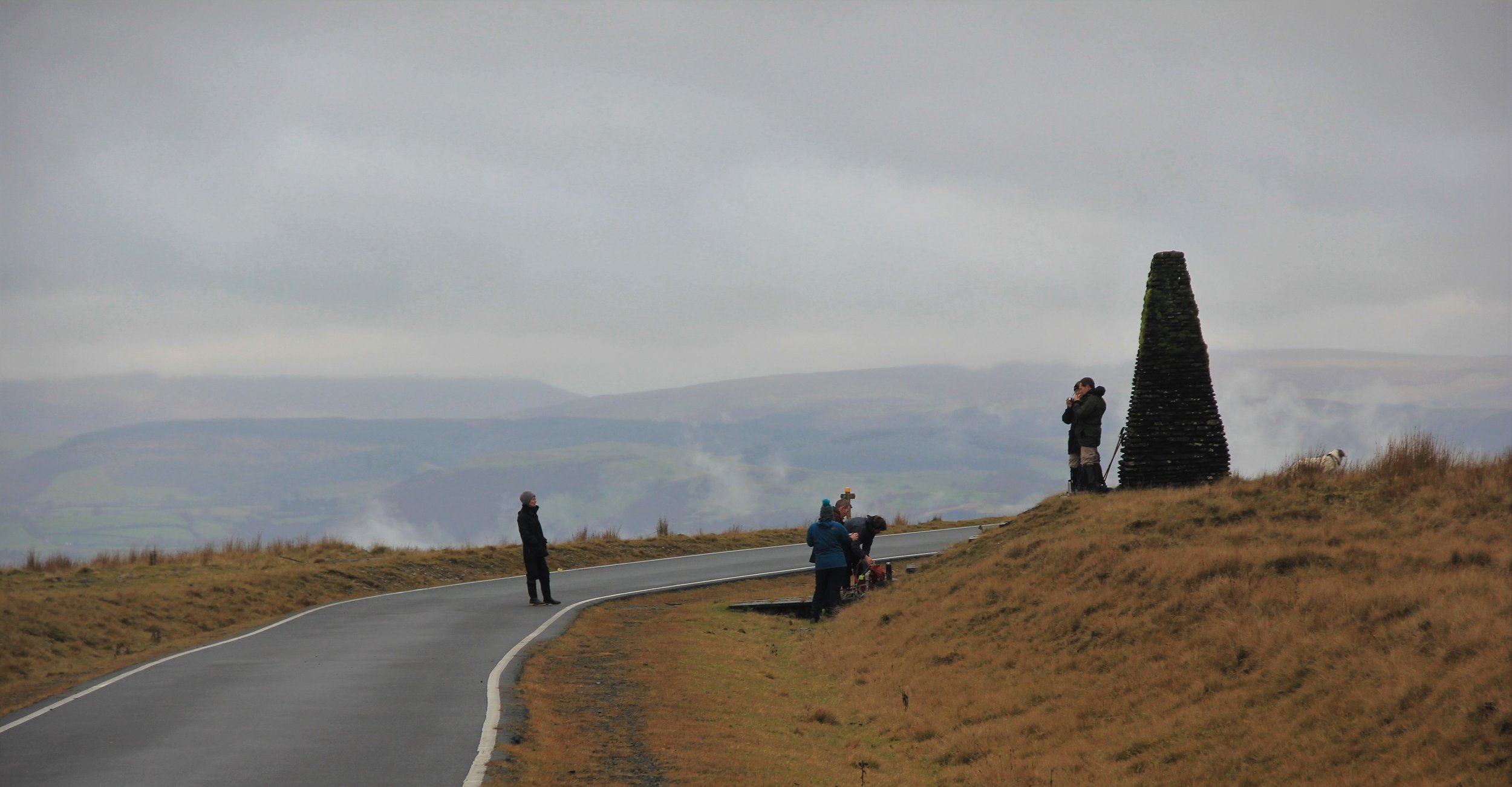
Follow the waymarkers through the forestry. Turn left (Point 8 -SN 929445) to follow the forestry track to a cattle grid. Follow the track to the metalled road (Point 9). Turn left. You should have spectacular views of the Cambrians to the North and of Cwm-mwyn valley below.
Turn left and keep below the metalled military road, Mabbions Way. Just past the monument, turn left, (Point 10) to reach a sheepfold (Point 11- SN 937451). Pass through the gate and bear left to cross the corner of an adjoining field (Point 12- SN 933449). Bear left down the bank and soon turn sharp right, (Point 13) to follow a faint track gently down the hill, crossing a hedge line ,(Point 14). The track leads to gates (SN 929455) before climbing gently to the ruin at Cnwch (Point 15- SN 928455). The track turns sharply right and after a gate left, (Point 16) and left again, (Point 17) to re-join a metalled lane. This lane leads back to Gwar-felin ,(Point 1) where you turn right back into Llangammarch Wells.
Variation
Start at the picnic point/ receptor on the Garth road (B4519), go down the road to cross the cattle grid. This is the Heart of Wales Trail, following a path across the fields, passing Troed -y-Rhiw Isaf (SN 952471) and Pen-rhôs (SN 943473) and down to join a quiet road that winds into Llangammarch Wells. The Lake Hotel is visible in the distance to the north. The route is through what might have been an old park. Turn left after the Post Office with Alexandra Hall on the right.
Follow the main trail as far as Point 10, past the Monument on Mabbions Way where, instead of dropping back down to Llangammarch Wells, continue to the start of the route.